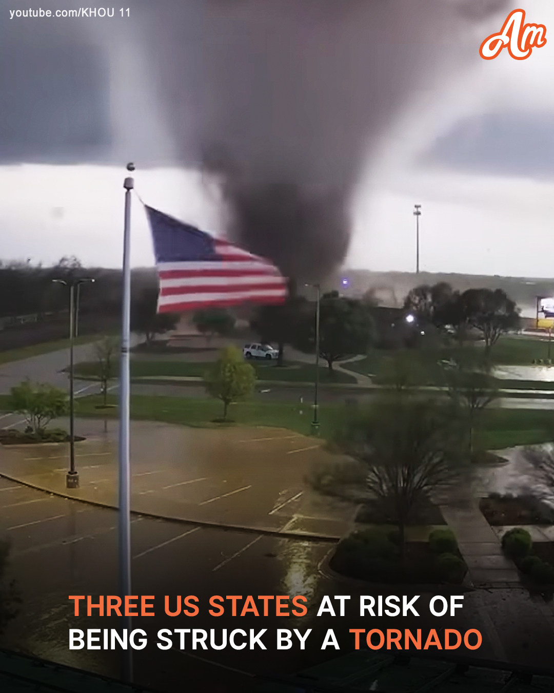
The Storm Prediction Center has issued tornado and severe thunderstorm watch alerts for specific states and has provided details on what each location can expect.
The National Weather Service’s Storm Prediction Center (SPC) has issued an Enhanced Risk warning for severe thunderstorms, primarily targeting central Oklahoma, north Texas, and Kansas. Cities including Oklahoma City, Norman, Wichita Falls, Denton, and Lewisville are directly within the zone of concern.
This elevated risk period spans the overnight hours, beginning the evening of March 3, 2025, and continuing into this morning (March 4).
Forecasters warn that severe thunderstorms are expected to develop across parts of the southern and central Plains throughout the evening. These storms are likely to intensify overnight, posing threats that include tornadoes, damaging wind gusts, and large hail.
A combination of these hazards raises the potential for dangerous conditions across the region. This severe weather event’s driving force is a mid-level short-wave troughing system currently pushing out of the Four Corners region.
As this system tracks eastward into the southern Plains, an advancing cold front will interact with warm, moisture-rich air streaming northward.
In addition to the aforementioned warning, the SPC has also issued a Tornado Watch, which covers parts of southwest Arkansas, southern and southeast Oklahoma, and central into north and northeast Texas.
This Tornado Watch is in effect from 4:10 a.m. until 11:00 a.m. CST today (March 4). More details on the story will follow shortly.